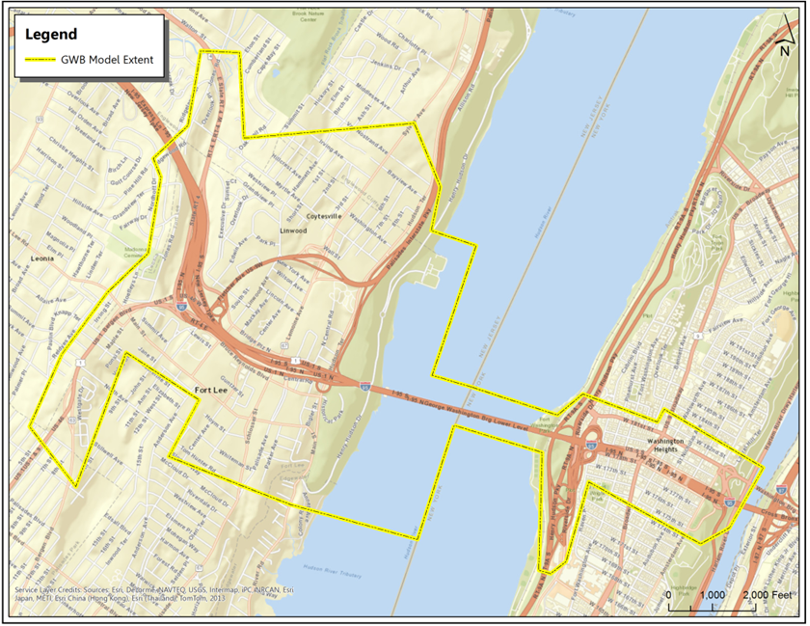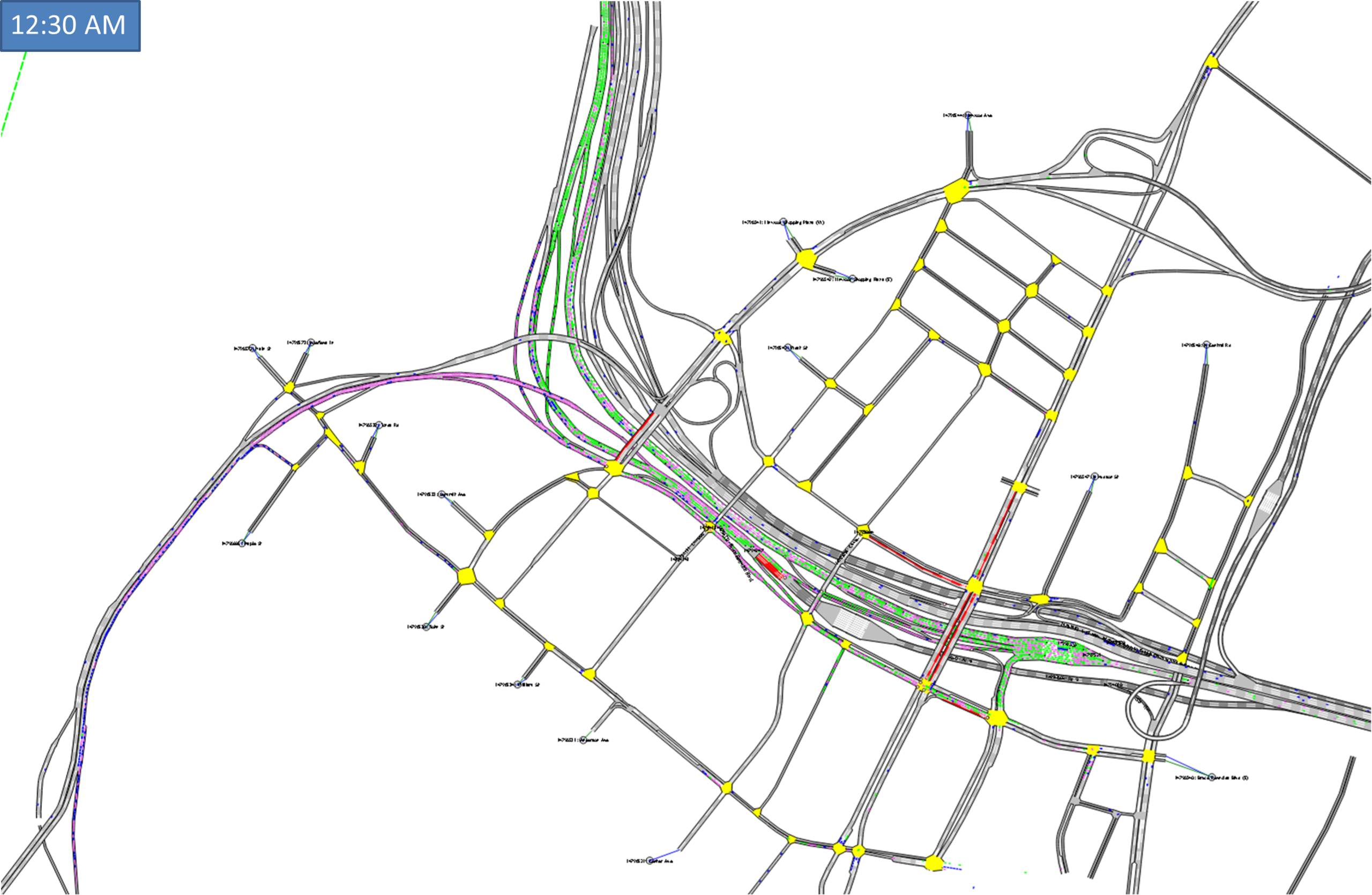
To support the Port Authority’s “Restoring the George” program and manage traffic impacts from major planned lane closures on the George Washington Bridge, KLD developed a comprehensive traffic simulation model of the facility and surrounding road networks. The model enabled detailed analysis of closure scenarios on both sides of the bridge, with real-world results closely aligning with model predictions.

Providing the only direct vehicular access to Upper Manhattan from New Jersey, the George Washington Bridge (GWB) services upwards of 50 million automobiles, buses, and trucks in the eastbound direction annually and is a critical component of New York's metro area transportation network. However, the bridge is in need of major repairs.
The Port Authority of New York and New Jersey (PANYNJ) has been actively planning a series of “mega” construction projects as part of the “Restoring the George” program to maintain the structural health of the GWB facility for years to come. These construction projects will require a multitude of lane closures during specific periods in both directions and across both the Upper Level and Lower Level of the GWB.

As part of its strategic objectives, the PANYNJ tasked KLD with developing a large-scale traffic simulation model (GWB Model) of the facility to support various traffic analyses. The GWB Model was developed in phases, while simultaneously supporting various PANYNJ projects.
NYCDOT’s Sheridan Model was first expanded to include the local street network on the New York side of the GWB. These models focused on the Weekday AM and PM Peak to evaluate daytime closures of Ramp 178 and Ramp 179 which provide access to/from I-95 mainline in Washington Heights. The need then shifted to the New Jersey side to evaluate Weekend Overnight closures of GWB Lower Level and PIP, and Hudson Terrace. The GWB Model was further expanded to include I-95 mainline/ramps, arterials, and local streets in Fort Lee, NJ. Base models continue to be refreshed with newer data and utilized in closure analyses for critical time periods.
Model development involved coding the supply side (network geometry, signal timings); conducting site visits and collect supplemental data; developing origin-destination matrices for autos, trucks, and pedestrians, and public transit lines for buses; and calibration and validation of the base model to the prevailing field conditions. We also coded closure(s) and associated detours to develop scenario models for comparative analysis. The project deliverables were a fully calibrated and validated base model, models of the alternatives and a presentation slide deck including comparative MOE.
Various lane closures that have been simulated using the GWB Model have been implemented with impacts comparable to what was predicted in the model. Development and application of initial GWB Base Models was undertaken 2014-2018.
