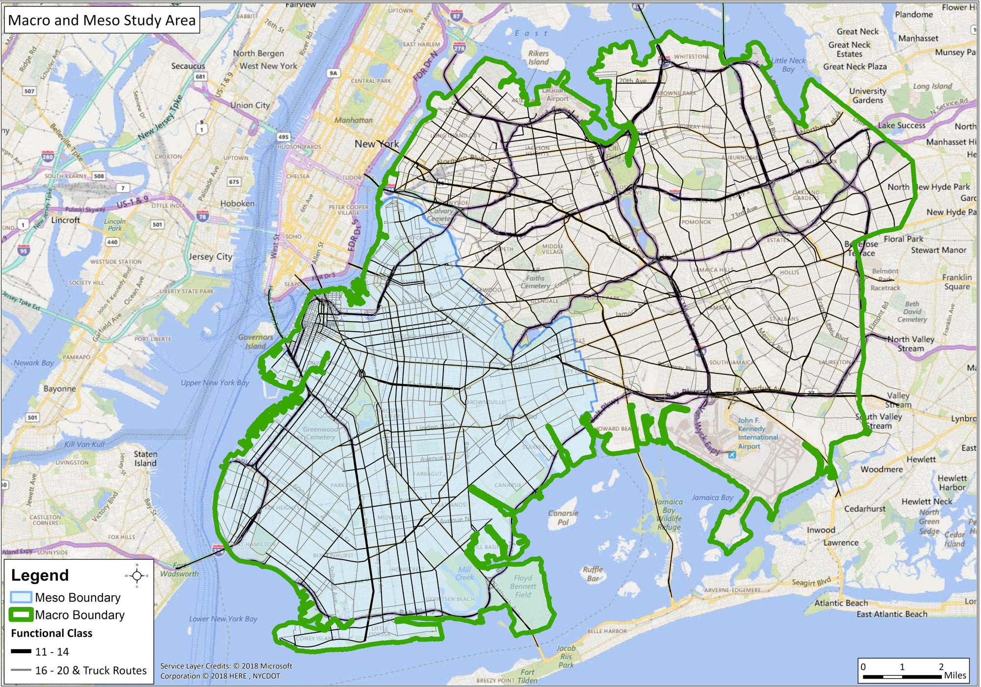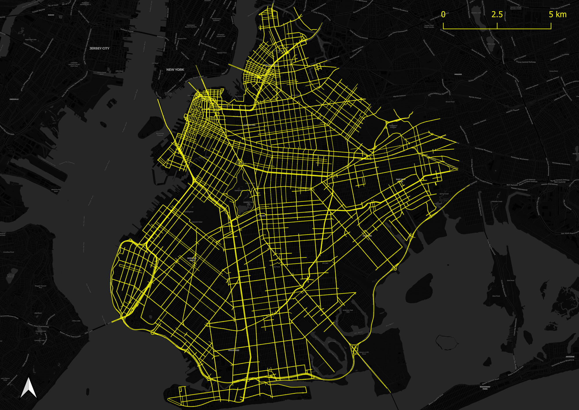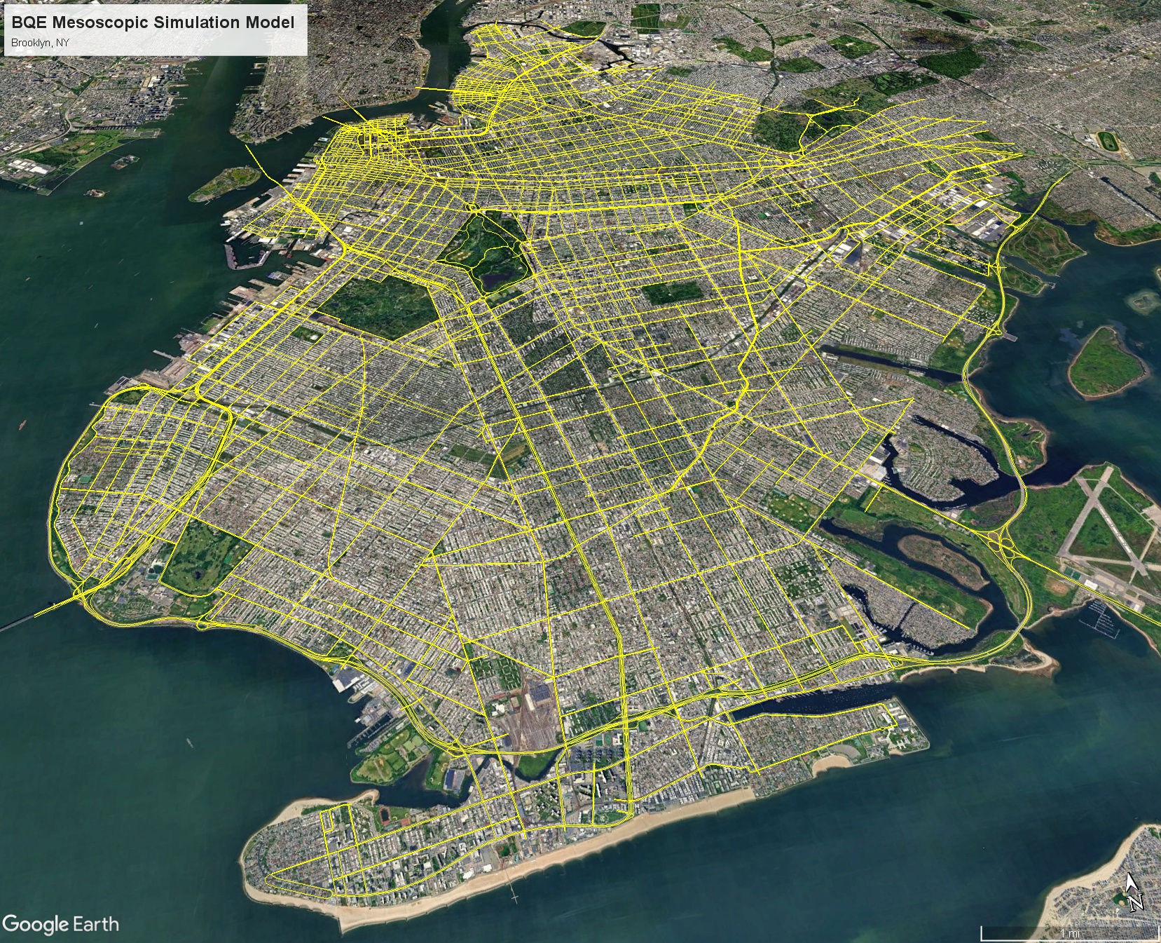
To quantify and mitigate possible traffic impacts of the rehabilitation of the Brooklyn-Queens Expressway, we worked closely with NYCDOT to develop a large-scale traffic model of the NYC boroughs of Brooklyn and Queens. This laid the foundation for our work in building a custom mobility evaluation tool to test multiple traffic scenarios for both urgent repairs and environmental review.

The Brooklyn-Queens Expressway (I-278), locally known as the BQE, is a critical link for municipal and regional traffic spanning the NYC boroughs of Brooklyn and Queens. When major rehabilitation of this link was being considered, many pushed for it to be completely reimagined as something other than a full-service highway. Because of how critical the BQE is to regional traffic and the perceived potential impacts on surrounding neighborhoods, the city needed a comprehensive and robust traffic analysis to assure stakeholders and the public that they had taken everyone’s needs into consideration.
On the heels of creating several cutting-edge, multi-resolution traffic models elsewhere in the city, the city’s transportation agency, NYCDOT, decided to create a similar large-scale model to support the BQE rehabilitation. We had just finished a challenging project for the agency focused on the Queensborough Bridge, so they trusted that we could support the enormity of this project.
After a large data collection effort, we created a customized data warehouse tool of traffic counts using Tableau that allowed users to zoom into any area and get a 24-hour profile of traffic speeds, volumes, and historical trends. Using this tool, we led development of a multi-resolution simulation (Macro/Meso) model in Aimsun that represents traffic conditions over a 24-hour period for a typical weekday throughout all of Brookyln and Queens.

The BQEMET allowed NYCDOT’s stakeholders to better understand regional impacts of BQE construction and in choosing and staging design alternatives. Our model also reinforced the city’s strategic vision for transportation throughout the boroughs. Everybody now recognizes that New York City does big models, and NYCDOT has continued to update the model and reuse it for many projects.
NYCDOT is currently working with the Triple Cantilever Joint Venture (Parsons – AECOM) on the environmental review. Working as part of this team, we are updating and applying the model to support the needed traffic analyses for future years during different peak periods.
We supported NYCDOT’s urgent repairs project with a hybrid simulation, running meso and microscale at the same time. The traffic analysis area included over 120 intersections in the Downtown Brooklyn area in addition to an approximately 10 mile section of mainline and ramp segments of the BQE.
For the ongoing environmental review process, the JV team developed an efficient methodology to analyze the local streets and freeway segments to meet the requirements of both CEQR and Federal guidelines. The methodology includes using the BQEMET Meso model, a micro model of a sub-area expressly developed for the BQE mainline, ramps, & interchanges, and Synchro models for the local street intersections.
Using the BQEMET, the JV team is translating changes in the traffic patterns to develop balanced flow maps for the Synchro and Micro-model analyses.
